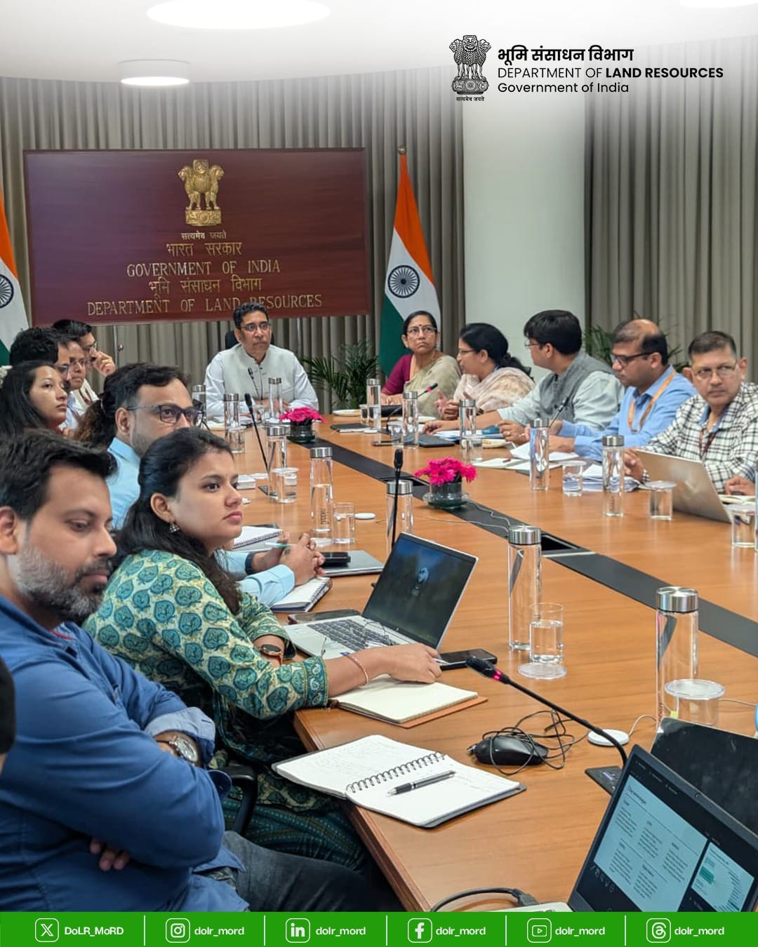
The Department of Land Resources has begun work with the National Institute of Urban Affairs and the Department of Posts on linking two digital systems used to identify land parcels and physical locations.
The discussion centres on ULPIN, which assigns a unique digital identity to rural and urban land parcels, and DIGIPIN, a geo-referenced system designed to identify precise locations. Officials are examining how the two can operate together instead of remaining separate identifiers.
Land Resources secretary Narendra Bhooshan chaired the meeting. Participants included Joint Secretary P. Narahari, Additional Director General of Posts Gokul V. C. NIUA director Debolina Kundu and senior officials from the participating organisations.
The proposed integration is intended to improve interoperability among government platforms and support public services that depend on reliable land and location data. A common technical link could allow an authorised system to associate a parcel record with a precise digital address without replacing the purpose of either identifier.
The organisations agreed to undertake pilot projects to test practical use cases. They will also work on an open, standards-based application programming interface so that government systems can exchange the relevant data through a defined architecture.
The plan also envisages a role for startups, developers and other innovators in creating citizen-facing geospatial applications and additional services. Any wider access will still need to account for security, permissions and the reliability of the underlying records.
The meeting did not announce a nationwide launch date. The immediate next stage is the pilot work, which must establish whether ULPIN and DIGIPIN can be connected accurately across rural and urban settings and whether the resulting services are useful to citizens and public agencies.
If the tests succeed, the integration could become part of a broader digital public infrastructure for land governance. Its credibility will depend on open standards, clearly assigned responsibility for corrections and safeguards against inconsistent or outdated location data.